
ORLANDO, Fla.- – The few showers that developed over Flagler and Volusia counties, along with parts of Brevard County, will continue to fade away Sunday night.
It will be partly cloudy and a little breezy early Sunday night, but the wind will relax a little more the later it gets.
On Monday, we start the day with a decent amount of sunshine and mainly dry conditions, but grab the rain gear for the afternoon.
By noon, there will be thicker clouds overhead and maybe even a few showers.
The northeast wind will be gusting near 25 mph for most of the day and will continue through midweek.
High pressure will move farther east, allowing for a little more moisture to move back into central Florida.
In the second half of the day, from Orlando to the south, expect to see more showers passing by the northern zones. Rain chances are still between 20% to 30%, but later in the workweek, increased rain chances return.
Tropical Update
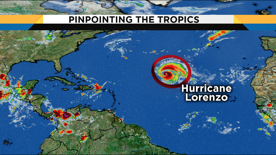
Hurricane Lorenzo is still over the open Atlantic as a Category 3 hurricane. The National Hurricane Center shows that storm moving to the northeast over the next few days.
Those with interests in the Azores need to monitor this storm late Tuesday as it gets closer.
The rest of the Atlantic is quiet, with no tropical formation expected over the next five days. This includes the Caribbean as well as the Gulf of Mexico.
Beachgoers need to take heed near the water. Swells from Lorenzo will continue to impact our coastline. Expect seas between 5 and 7 feet. Dangerous rip currents are expected every day as well. If you dare enter the water, please do so by a lifeguard. Small craft advisories are in place until the late afternoon Wednesday with gusty northeast winds expected at 15-20 knots.