

ORLANDO, Fla. – As we move into the busier point of the hurricane season, we are now monitoring several areas across the Atlantic, including newly formed Tropical Storm Cristobal.
Invest 92L
Invest 92L is the area that will be watched most closely over the coming days. It is currently in the central tropical Atlantic and is expected to move into the Caribbean by the weekend.
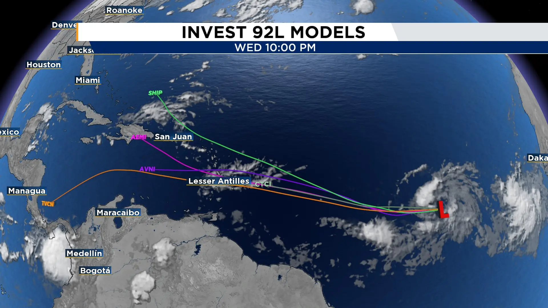
Conditions are primed for development with a depression forming likely soon. However, it will face some obstacles as it moves west, including dry air and wind shear, which could limit how much it strengthens.
The system is still several days away from the Caribbean, and there is no threat to Florida at this time. Its eventual strength and track will depend on how well it can organize along the way.
While there is no threat to Florida at this time, this one system in particular will be worth watching as it heads toward the Caribbean.
Tropical Storm Cristobal
Cristobal is currently about 880 miles west of the Azores, with maximum sustained winds of 45 mph. The storm is racing east at about 25 mph and is expected to gradually weaken before dissipating Thursday.
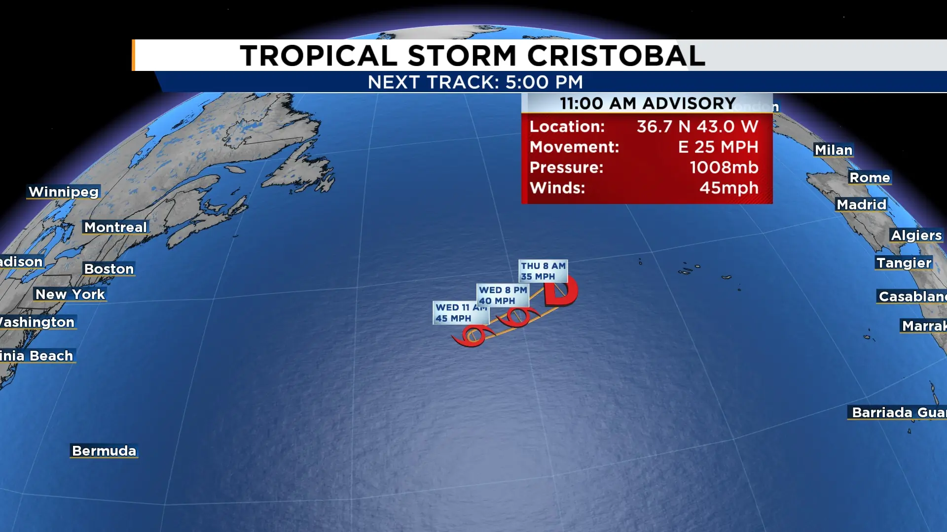
This area will remain a fish storm with no landfall likely.
Eastern Tropical Wave
Another tropical wave fresh off the western coast of Africa, is producing disorganized showers and thunderstorms and could gradually become better organized as it moves westward across the Atlantic.
Development chances remain relatively low, with a 30% chance of formation over the next seven days.
The next name on the 2026 Atlantic hurricane season list is Dolly.

The News 6 Weather team ensures you're always on top of the day's weather.
