

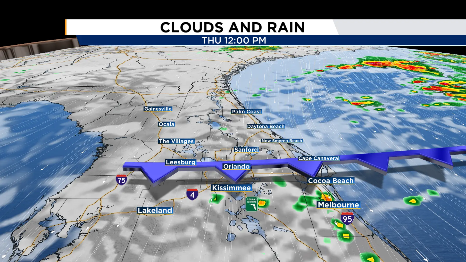
ORLANDO, Fla. – After officially starting the fall season Tuesday evening, Mother Nature is wasting no time getting Central Florida into the Fall spirit! Our first cold front of the season is set to cross over Central Florida Thursday morning, bringing a nice dose of cooler, less humid air into the area!
Tonight
Our onshore winds overnight, in combination with the approaching cold front, will help to bring spotty showers off the Atlantic waters and onshore this evening and overnight. Best chance for these showers will be Flagler and Volusia counties. Overnight lows will drop down into the low 70s.
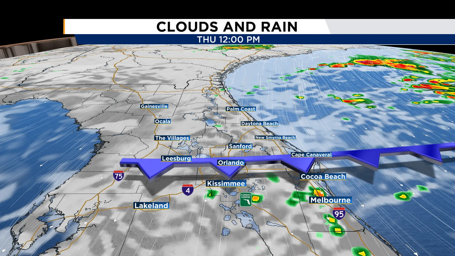
Thursday
The cold front will cross over Central Florida Thursday morning, bringing spotty morning showers with it. With our onshore northeast winds building throughout the day Thursday, spotty, quick-moving showers will flow onshore at times. We will keep this spotty shower chance into the afternoon as well, with best chance along the beaches of Flagler and Volusia. Coverage will top out at around 30%. Highs will hit the mid-upper 80s.
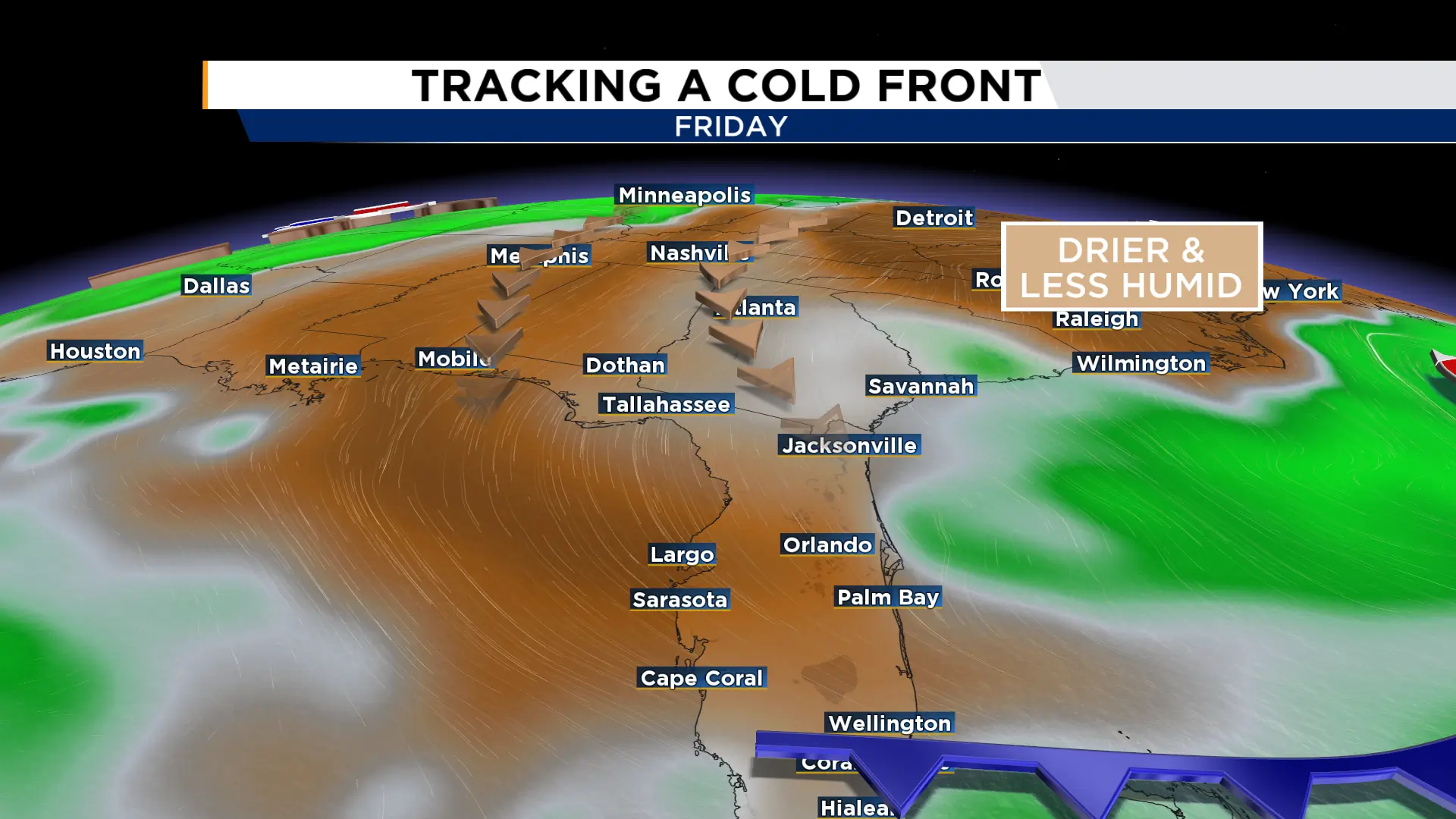
Into the Weekend
Drier and cooler air will begin to filter in early Friday morning and continue into the weekend. This will allow rain chances and temperatures to drop as we end the week and begin the weekend. Friday will feature only a few isolated coastal showers with highs in the mid 80s.
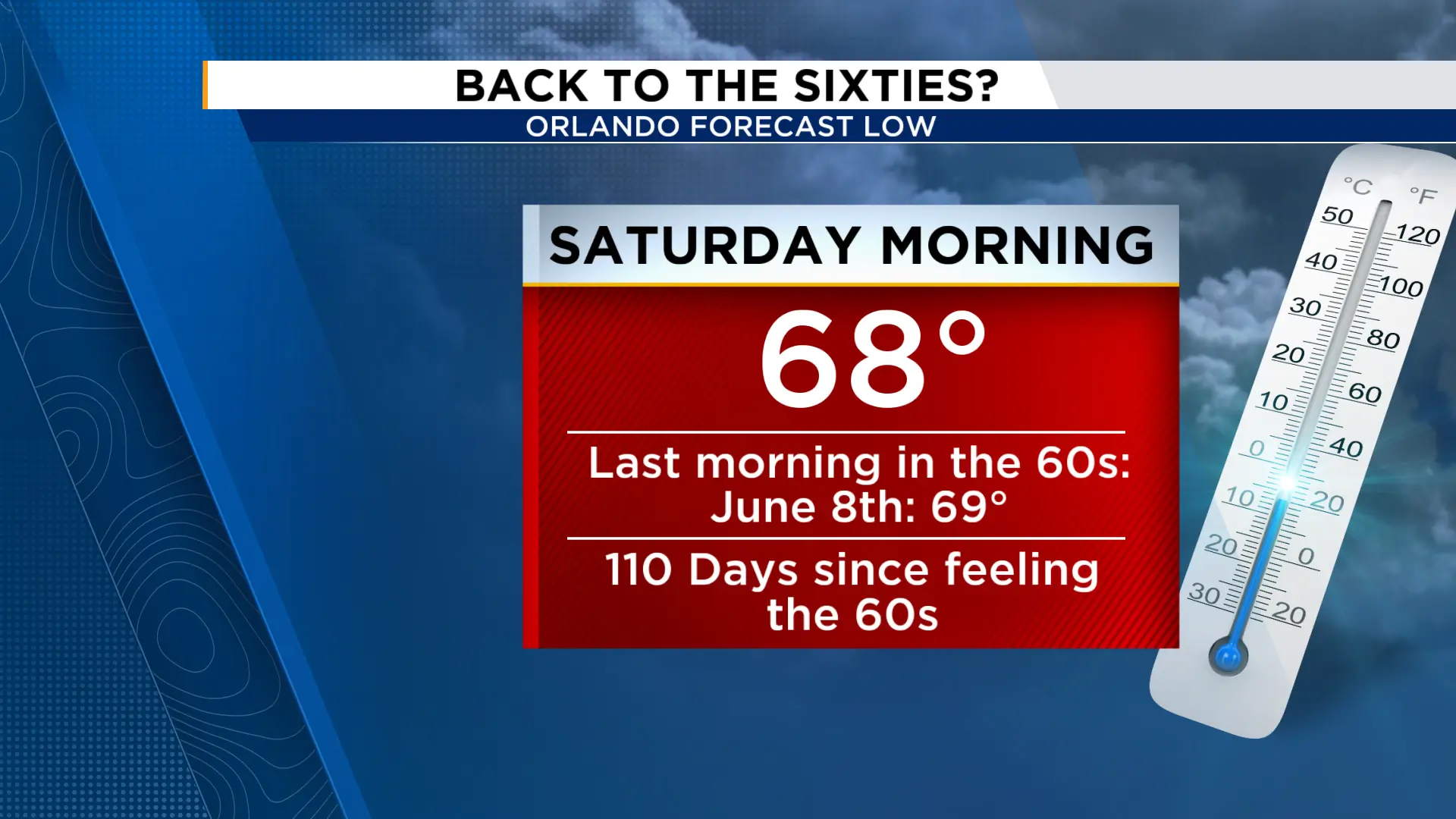
Temperatures drop down into the mid-upper 60s by Saturday morning for the first time in 110 days! The weekend will feature morning lows in the 60s both Saturday and Sunday with highs in the mid 80s under a mix of sun and clouds.

The News 6 Weather team ensures you're always on top of the day's weather.
