TIMELINE: Cold front brings strong storms to Central Florida. Here’s when
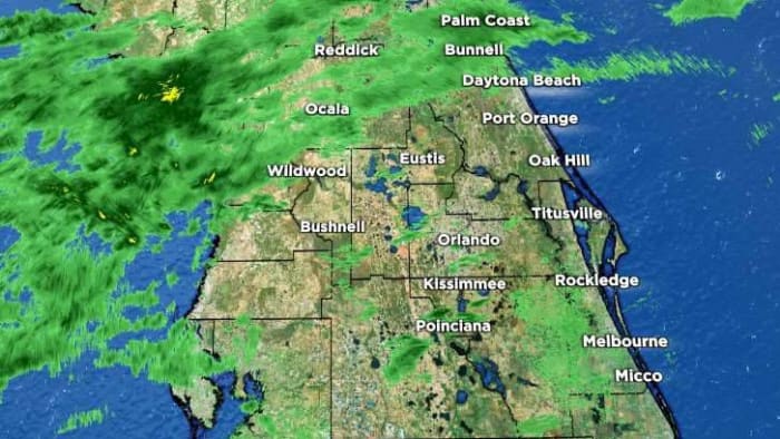
Read full article: TIMELINE: Cold front brings strong storms to Central Florida. Here’s whenThe News 6 Weather Team has declared Monday a Weather Alert Day. Central Florida is under a Level 2 Slight Risk for severe weather from the Storm Prediction Center as a strong cold front moves south across the state.

:strip_exif(true):strip_icc(true):no_upscale(true):quality(65)/cloudfront-us-east-1.images.arcpublishing.com/gmg/XTW4ZY33UNHU5KNP77IVCS3TVI.PNG)
:strip_exif(true):strip_icc(true):no_upscale(true):quality(65)/cloudfront-us-east-1.images.arcpublishing.com/gmg/OR73HMV6YRBZRKNWFGAZZW52QY.PNG)