

WEATHER ALERT


1 day ago
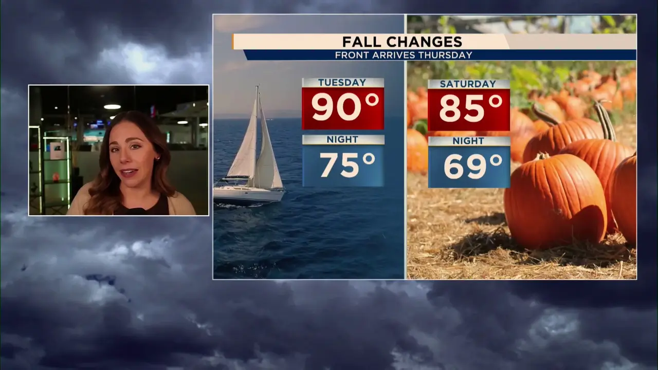
First Florida cold front of season could bring fall-like humidity. Here’s when
Read full article: First Florida cold front of season could bring fall-like humidity. Here’s whenCentral Florida will get a taste of fall this weekend as a cool front brings drier air, lower humidity and cooler mornings, with some areas dipping into the 60s.

1 day ago
Storm chances fade as Fall-Like air arrives this weekend. Here’s the latest
Read full article: Storm chances fade as Fall-Like air arrives this weekend. Here’s the latestStorms stick around through midweek before a front brings drier air, lower humidity and a taste of fall this weekend. Here’s the latest timeline.


Rain chances climb across Central Florida heading into the weekend
Read full article: Rain chances climb across Central Florida heading into the weekendA disturbance moving across the state will bring deeper moisture, increasing rain chances to 60%–70% this weekend while temperatures stay near normal.


Dry and Breezy Thursday Before Storms Ramp Up for the Weekend. Here’s the latest
Read full article: Dry and Breezy Thursday Before Storms Ramp Up for the Weekend. Here’s the latestA brief break from the rain arrives Thursday as drier air lowers shower chances, but the wetter pattern returns Friday. Here’s when storms ramp back up and what to expect through the weekend.

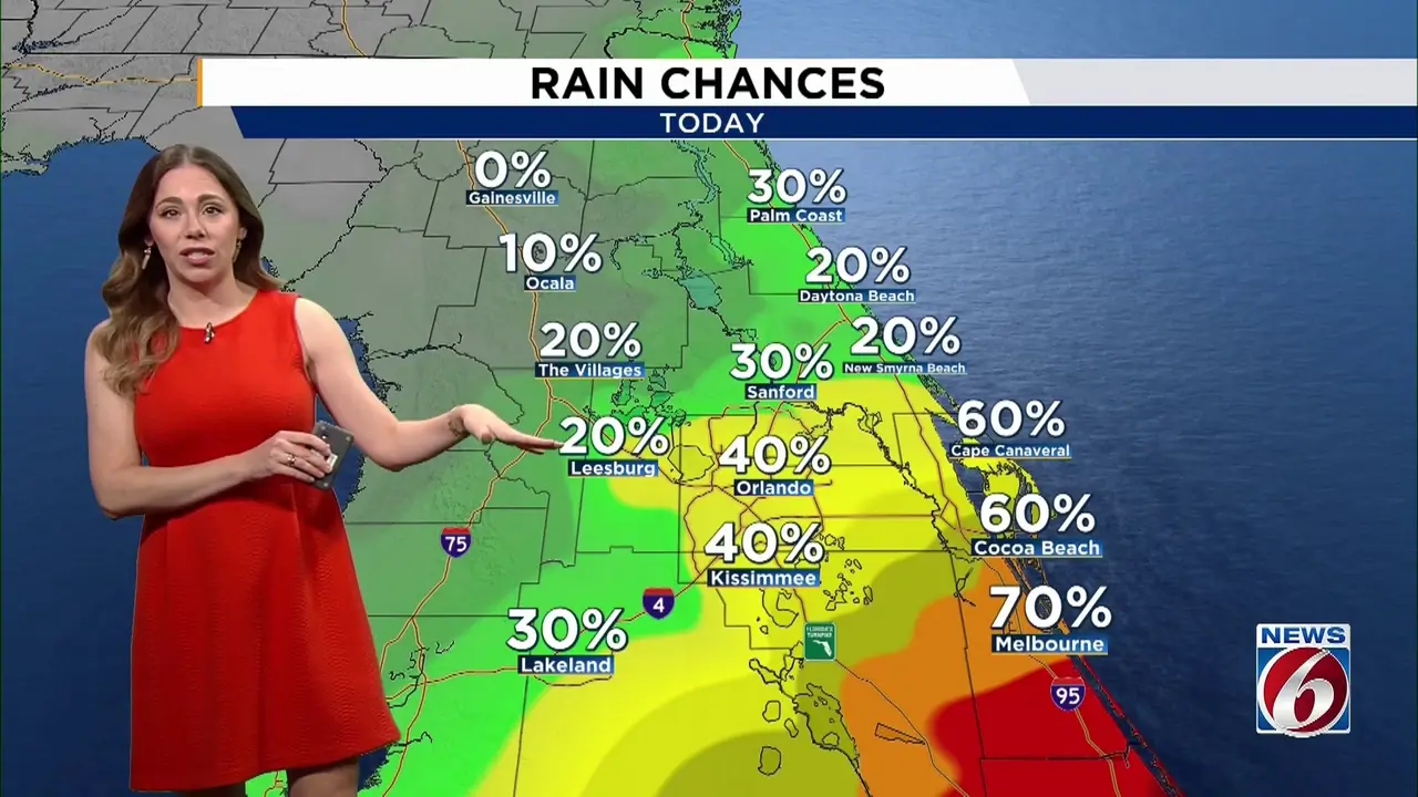
Breezy Wednesday, wetter by the weekend: Here’s what to expect
Read full article: Breezy Wednesday, wetter by the weekend: Here’s what to expectDrier air moves in across the north today, while southern Central Florida stays wetter with more showers and storms. Here’s what to expect, including breezy winds and rough beach conditions.

Storms linger Tuesday, then dry and breezy conditions arrive Wednesday
Read full article: Storms linger Tuesday, then dry and breezy conditions arrive WednesdayAnother round of showers and storms is ahead Tuesday before a noticeable weather shift Wednesday brings drier air, stronger winds and rougher surf.

Some storms Monday before dry, breezy weather arrives midweek. Here’s the latest
Read full article: Some storms Monday before dry, breezy weather arrives midweek. Here’s the latestCentral Florida starts the week warm and muggy, but a noticeable change arrives Wednesday as drier air moves in and breezy winds develop.


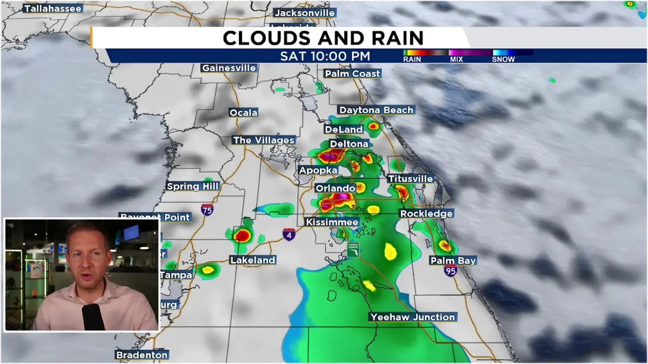


Labor Day brings more storms as wet pattern continues. Here’s what to expect
Read full article: Labor Day brings more storms as wet pattern continues. Here’s what to expectThe wet weather pattern continues across Central Florida, with widespread showers and storms expected Labor Day and through much of the week.


Heavy rain threat ramps up across Central Florida through Labor Day weekend
Read full article: Heavy rain threat ramps up across Central Florida through Labor Day weekendA wetter pattern is taking shape across Central Florida, with more widespread storms and heavy rain expected through Labor Day weekend

Could 2026 break a hurricane season record? We’re getting close
Read full article: Could 2026 break a hurricane season record? We’re getting closeIf no hurricane forms before Sept. 11, this season will tie the record for the latest start to hurricane activity in the modern satellite era, a mark previously set in both 2002 and 2013.

Rainy pattern continues into the holiday weekend as rip current risk rises
Read full article: Rainy pattern continues into the holiday weekend as rip current risk risesExpect another day of heavy downpours possible for Central Florida, as lingering swells from remnants of Tropical Storm Dolly bring a high risk of rip currents.

Wetter pattern takes over Central Florida: Heavy rain possible through Thursday
Read full article: Wetter pattern takes over Central Florida: Heavy rain possible through ThursdayA very moist pattern will bring multiple rounds of showers and storms to Central Florida through Thursday, with some areas picking up several inches of rain.


Remnants of Dolly could bring more rain to Central Florida this week. Here’s how much
Read full article: Remnants of Dolly could bring more rain to Central Florida this week. Here’s how muchThe remnants of Tropical Storm Dolly could bring an extra dose of moisture to Central Florida this week. Here's when rain and storm chances could peak and what to watch for.


Daily afternoon storms expected before more heat builds into September
Read full article: Daily afternoon storms expected before more heat builds into SeptemberAnother round of afternoon storms could bring heavy rain, lightning and gusty winds Friday. Storms shift inland this weekend as heat and humidity build for the start of September.

Tropical Storm Dolly forms in the Atlantic. Here’s what’s ahead for the system
Read full article: Tropical Storm Dolly forms in the Atlantic. Here’s what’s ahead for the systemNewly formed Tropical Storm Dolly as developed in the Atlantic. The storm faces strong wind shear ahead as it nears the Caribbean.

Tropics update: Invest 96L could become a depression or storm Thursday
Read full article: Tropics update: Invest 96L could become a depression or storm ThursdayThe tropical wave being monitored in the eastern Atlantic could briefly become a short-lived tropical depression or tropical storm Thursday before moving into a more hostile environment.


Daily storms continue as August heat holds on. Here’s the latest forecast
Read full article: Daily storms continue as August heat holds on. Here’s the latest forecastAnother active day of weather is ahead for Central Florida, with widespread afternoon storms expected. Storm chances remain high through the end of the week and into the weekend.

Chances of tropical development increasing as two areas could get named soon.
Read full article: Chances of tropical development increasing as two areas could get named soon.The Atlantic is getting busier as two areas are monitored for tropical development. Here's which system has the better chance of organizing and what it means for Florida.


Partial Lunar Eclipse This Week: Here’s the timeline for Central Floridians.
Read full article: Partial Lunar Eclipse This Week: Here’s the timeline for Central Floridians.Central Florida has a chance to catch a partial lunar eclipse this week. Here’s when to look up, what you’ll see and why the Moon will look a little different.

Hot start to the work week before storm chances ramp up. Here’s the timeline
Read full article: Hot start to the work week before storm chances ramp up. Here’s the timelineCentral Florida will start the week with hot temperatures and scattered afternoon storms, but rain chances will increase by midweek as more moisture returns to the area.


Not as hot, but storm chances continue across Central Florida. Here’s your weekend outlook
Read full article: Not as hot, but storm chances continue across Central Florida. Here’s your weekend outlookCentral Florida will see another round of scattered showers and storms today, with feels like temperatures staying below heat advisory levels.
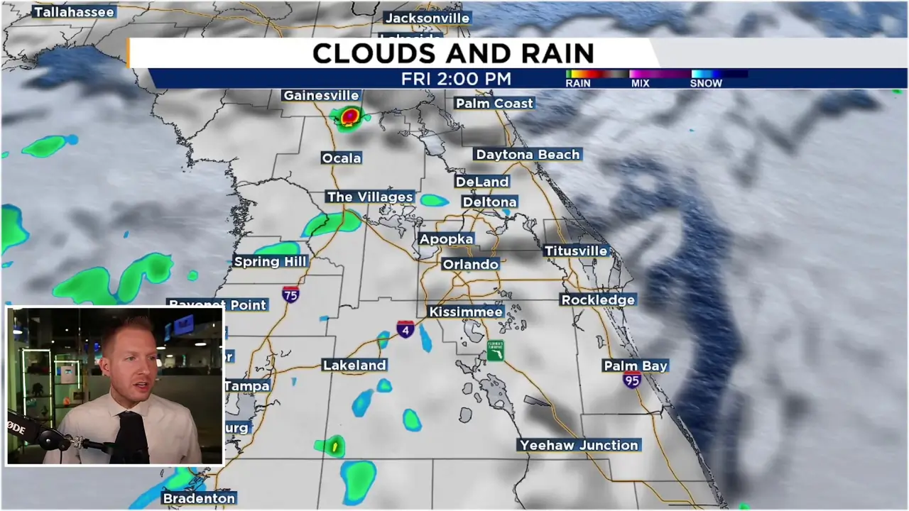

Another Heat Advisory issued as strong storms return to Central Florida. Here’s what to expect
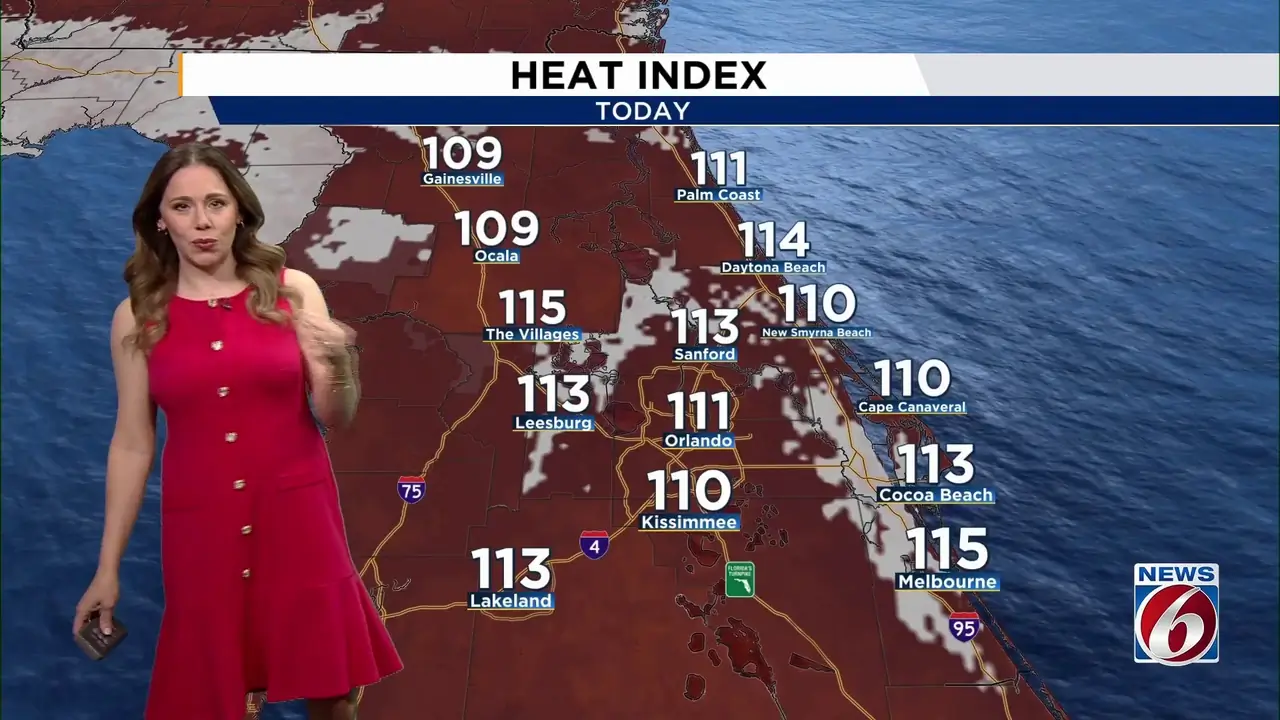
Read full article: Another Heat Advisory issued as strong storms return to Central Florida. Here’s what to expectCentral Florida is in for another dangerously hot day, but scattered to numerous afternoon storms will bring some relief from the heat. A Heat Advisory is in effect for all of East Central Florida, while a few storms could turn strong to severe.

Heat advisory issued as storm chances ramp up across Central Florida. Here’s the latest
Read full article: Heat advisory issued as storm chances ramp up across Central Florida. Here’s the latestAnother heat advisory is in effect as Central Florida faces mid-90s temperatures and dangerous heat indices today. Scattered storms possible Wednesday, with daily storm chances continuing into next week as the most intense heat gradually begins to ease.


Rare ‘Extreme Heat Warning’ issued as Central Florida faces hottest day yet
Read full article: Rare ‘Extreme Heat Warning’ issued as Central Florida faces hottest day yetCentral Florida is bracing for the hottest day of the current heat wave, with a rare Extreme Heat Warning issued for Marion and Flagler counties and dangerous heat indices across the area.


Hot weather continues with extreme heat levels expected into the weekend
Read full article: Hot weather continues with extreme heat levels expected into the weekendCentral Florida is in for another stretch of dangerous heat with fewer afternoon storms. A Heat Advisory is in effect Thursday from 10am-8pm.

Tropics update: Tropical Storm Cristobal has formed, Invest 92 likely to develop soon
Read full article: Tropics update: Tropical Storm Cristobal has formed, Invest 92 likely to develop soonThe Atlantic is heating up with Tropical Storm Cristobal and Invest 92L. There is no threat to Florida at this time

Heat wave continues through the weekend with a few storms. Here’s the latest.
Read full article: Heat wave continues through the weekend with a few storms. Here’s the latest.Central Florida’s heat wave continues through the weekend with heat indices potentially reaching 108 to 112 degrees and additional Heat Advisories likely.

Perseid Meteor Shower peaks this week: Here’s how to see it.
Read full article: Perseid Meteor Shower peaks this week: Here’s how to see it.The Perseid meteor shower peaks this weekend, bringing one of the best chances of the year to spot shooting stars. Find out when and where to look, plus how weather conditions could impact viewing.


Tropics waking up as Atlantic hurricane season approaches peak
Read full article: Tropics waking up as Atlantic hurricane season approaches peakAs of 8 a.m, Monday, the National Hurricane Center was monitoring three areas for possible tropical development across the Atlantic basin. None are an immediate concern for Florida.


Tropical moisture brings heavy rain, flooding threat for the weekend. Here’s the latest
Read full article: Tropical moisture brings heavy rain, flooding threat for the weekend. Here’s the latestRain chances climb to around 70% through Saturday, with multiple rounds of showers and storms capable of producing heavy downpours, gusty winds, and localized flooding.


Tropical moisture fuels more storms heading into the weekend. Here’s what to expect.
Read full article: Tropical moisture fuels more storms heading into the weekend. Here’s what to expect.Scattered storms continue Thursday, but the wettest weather arrives Friday as tropical moisture moves across Florida.


CSU forecast unchanged as peak hurricane season approaches. Here’s the latest.
Read full article: CSU forecast unchanged as peak hurricane season approaches. Here’s the latest.Colorado State University is sticking with its forecast for a quieter-than-average Atlantic hurricane season as the busiest stretch of the season gets underway.

Typical storm pattern continues as tropical moisture builds late week. Here’s the latest.
Read full article: Typical storm pattern continues as tropical moisture builds late week. Here’s the latest.Scattered sea breeze storms remain in the forecast through Thursday before tropical moisture boosts rain and storm coverage Friday and Saturday.

Tracking Tuesday storms before tropical moisture builds in by the weekend
Read full article: Tracking Tuesday storms before tropical moisture builds in by the weekendExpect another active afternoon with storms capable of heavy rain, lightning, and gusty winds. Then, all eyes turn to a tropical disturbance that may boost rain chances later this week.

Stormy start to the week before tropical disturbance boosts rain by the weekend
Read full article: Stormy start to the week before tropical disturbance boosts rain by the weekendScattered storms will continue through the first half of the week before another tropical disturbance could bring a wetter pattern to Central Florida by Friday and the weekend.


